
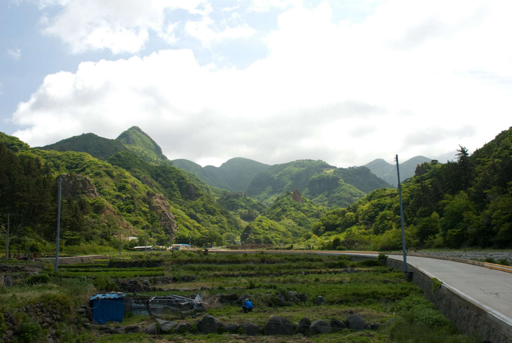
Long considered the big sister island of Dokdo, Ulleungdo is known for its lush forests, bamboo, and marine life. Due to its mountainous terrain and lack of transportation, Ulleungdo is a very difficult island to get around. However, with the help of local residents Kim Namhee and Jin Seong (of Ulleungdo Mania travel agency), we were able to visit places that many tourists don’t get to.
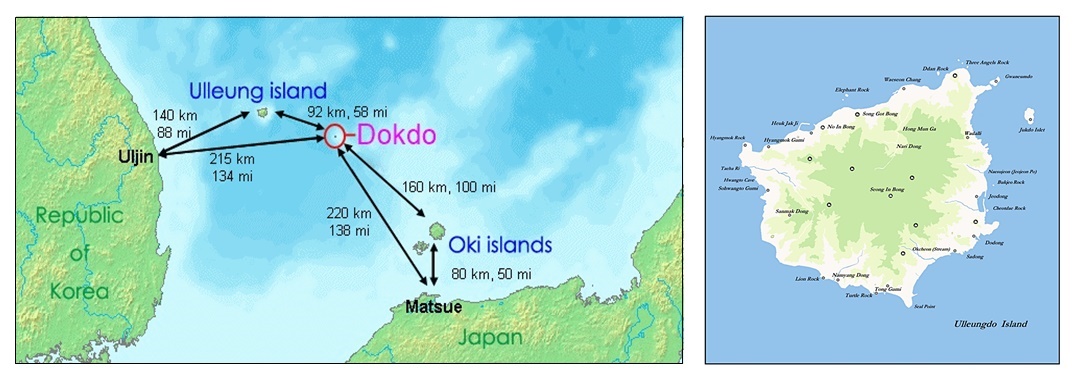
Top left: A full map of the Ulleungdo-Dokdo region, showing the distance to the nearest Japanese and South Korean landmasses. Top right: Map of Ulleungdo, South Korea, an ancient sister island of Dokdo.
First, a historical video of Ulleungdo in the 1960s.
Before you browse through the image gallery, watch a short documentary about Ulleungdo in the 60s. You’ll see various parts of Ulleungdo, including Dodong Harbor, Bamboo Island, Gwaneum Island, and Nari Basin. You can also see the Elephant (Hole) Rock in Ulleungdo. Life in Ulleungdo seems so peaceful and simple. Over the past few years, we have seen dramatic changes. It seems that Ulleungdo has lost its ‘mystique’ and is taking on the appearance of a theme park. I’ve heard that this is why property prices in Ulleungdo are one of the most expensive in the country!
Ulleungdo Gallery
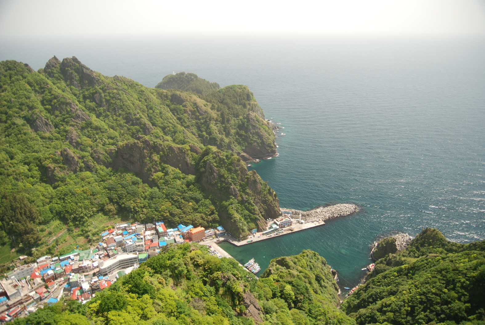
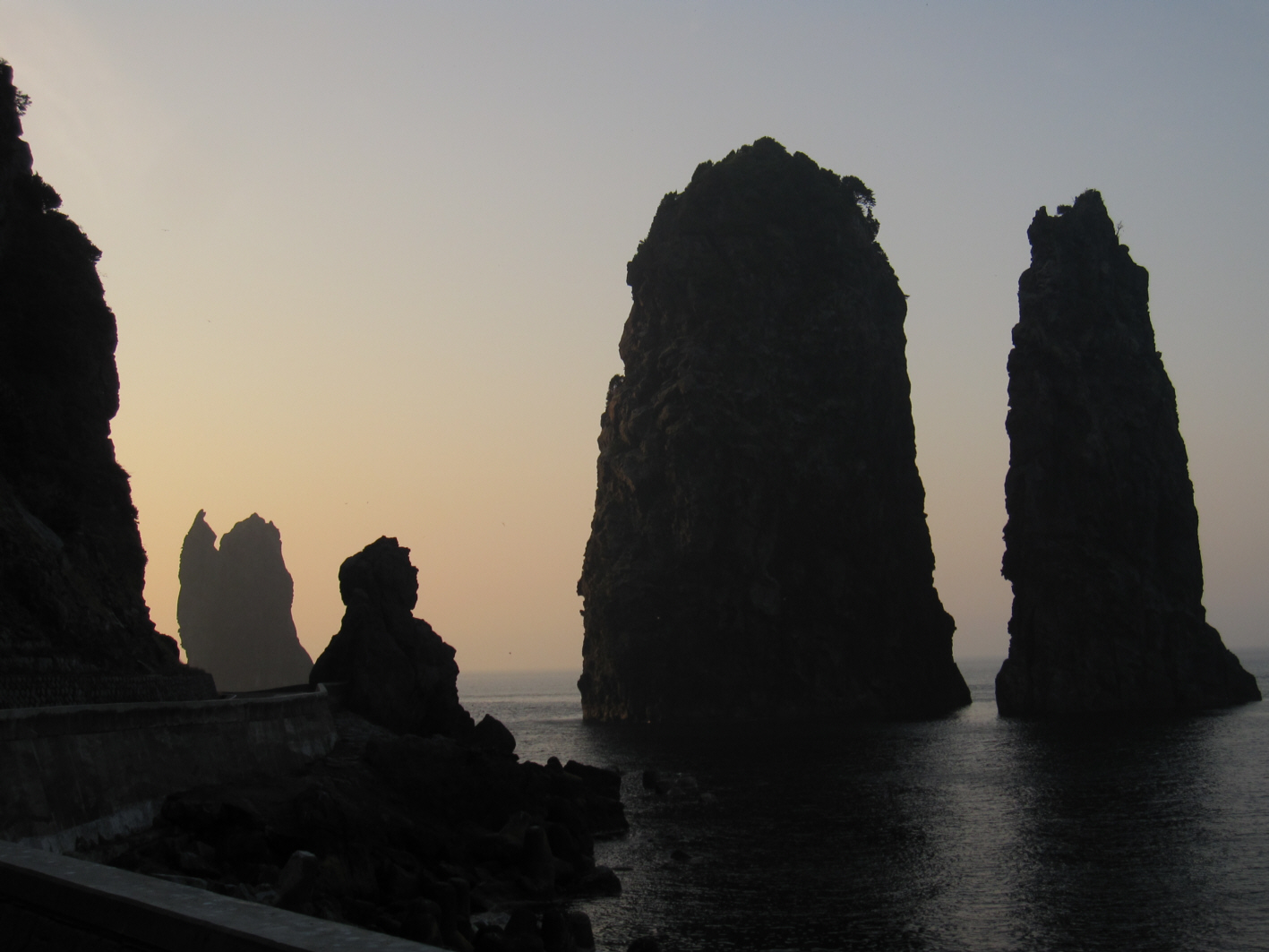
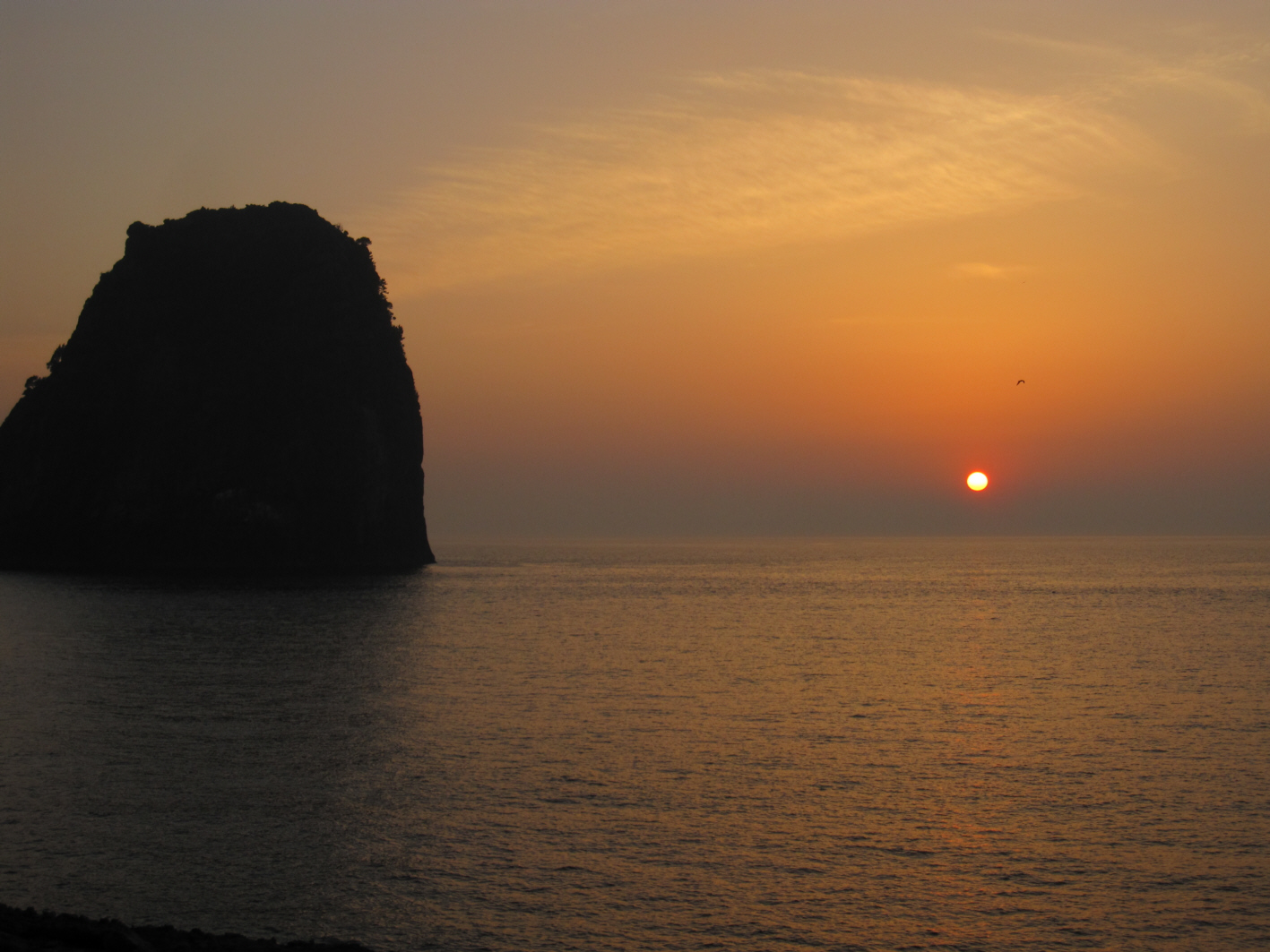
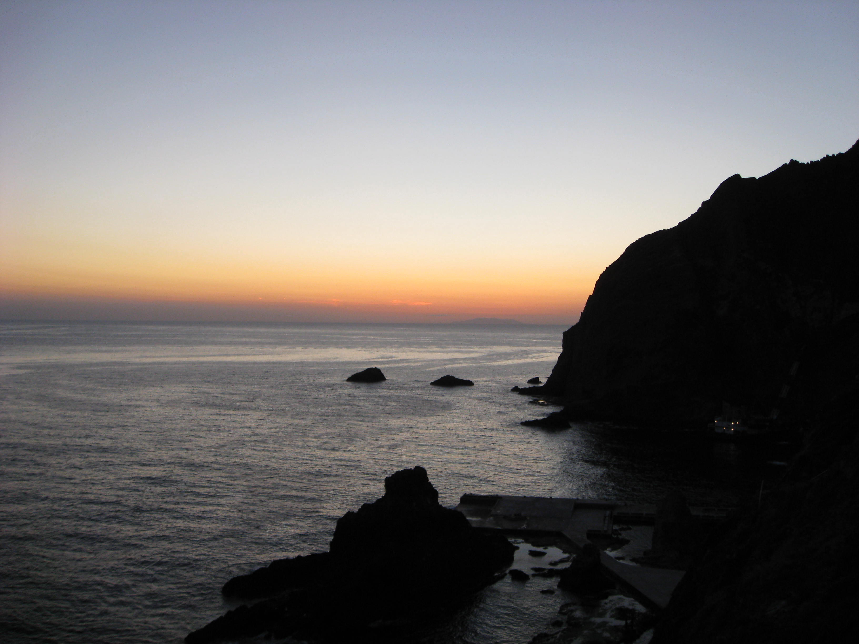
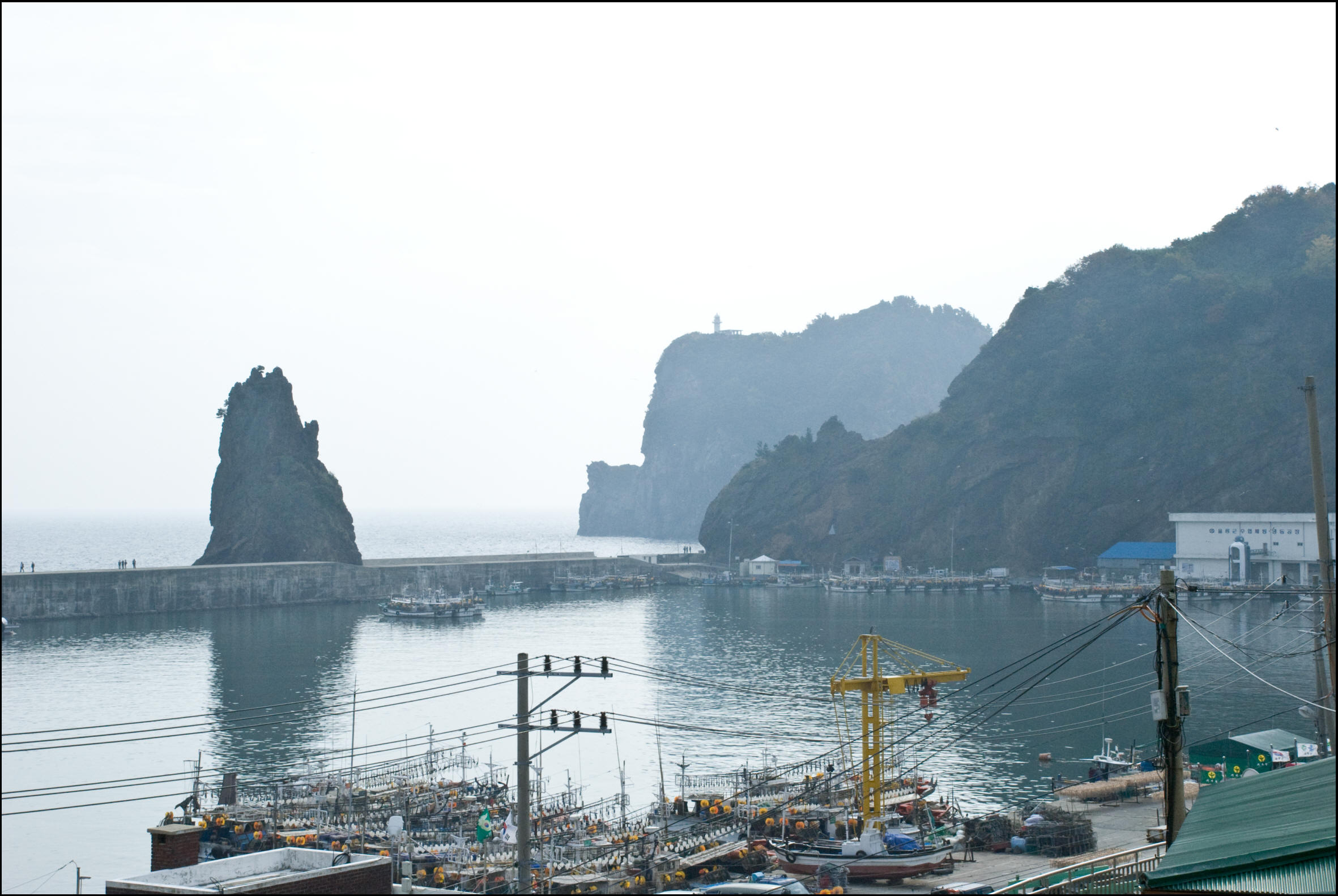
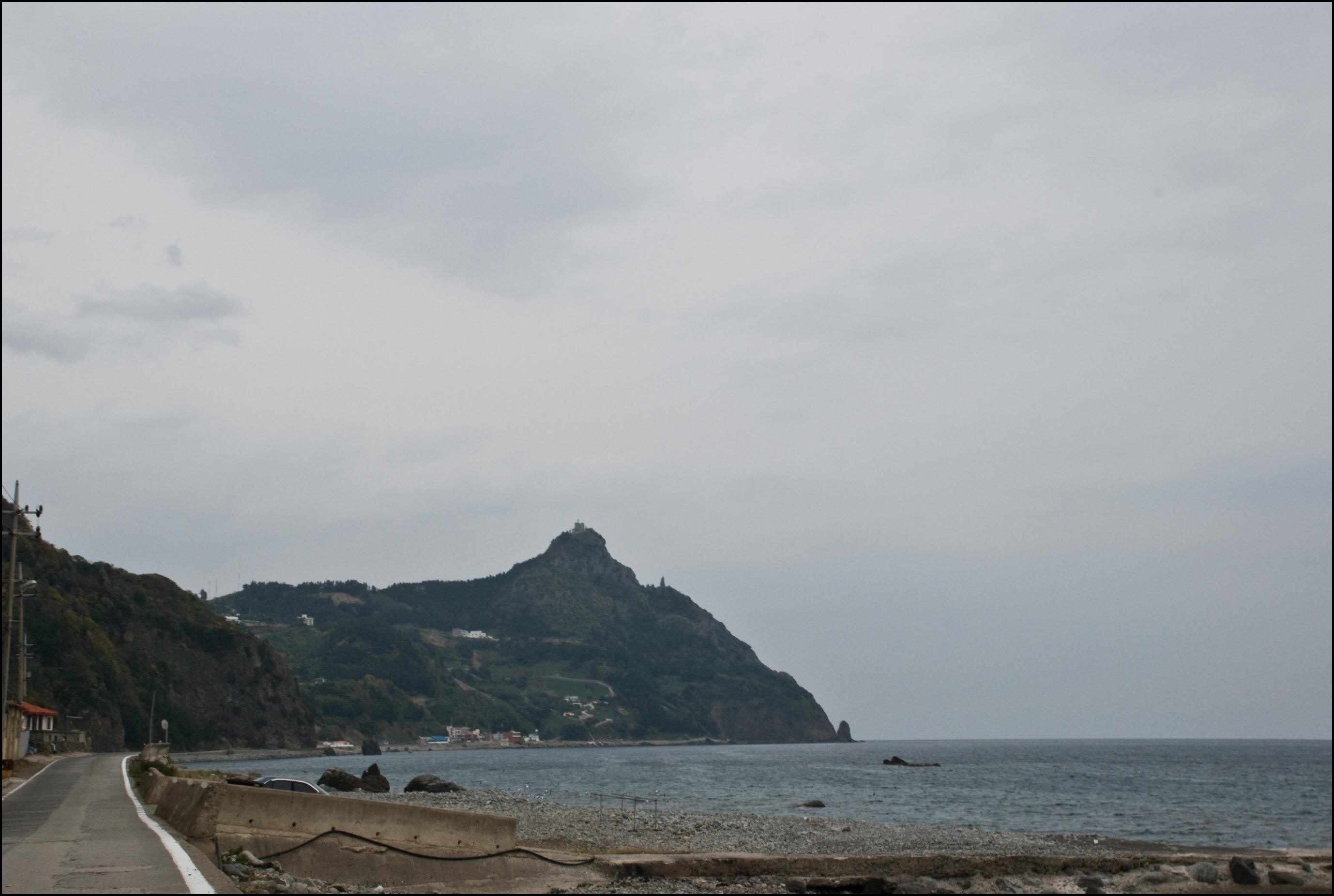
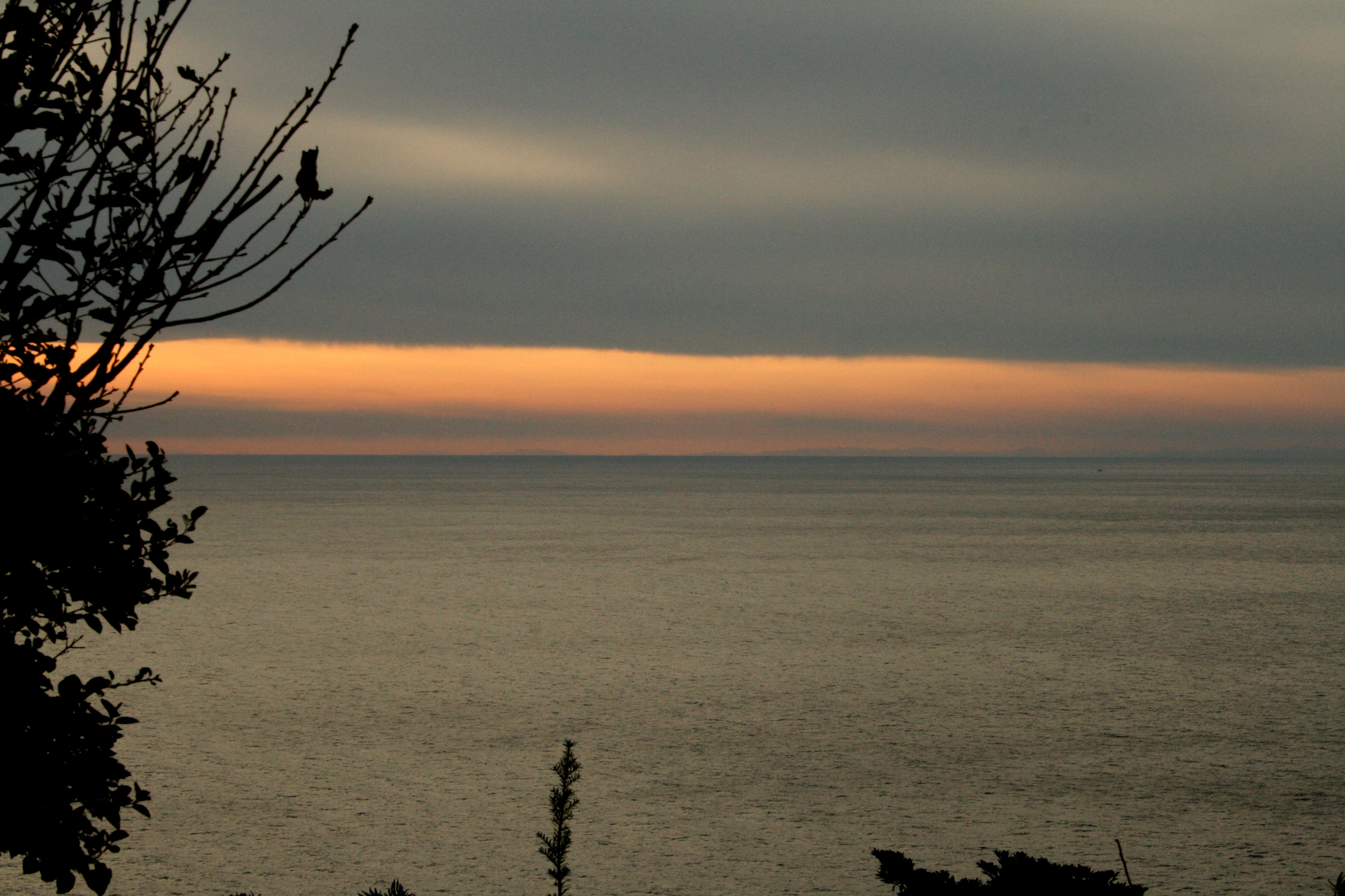
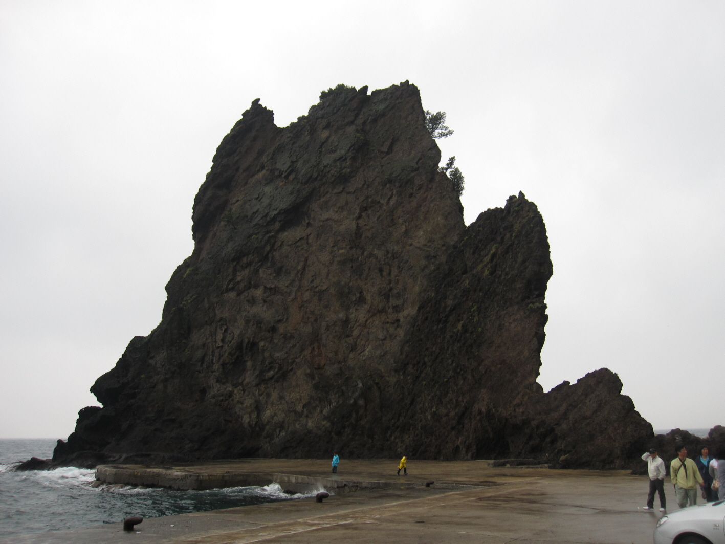
Left: Dodong Harbor as seen from the observation deck. Center: Three angel rocks on the north coast of Ulleungdo Island. Right: Ddan Rock at sunset from the west.
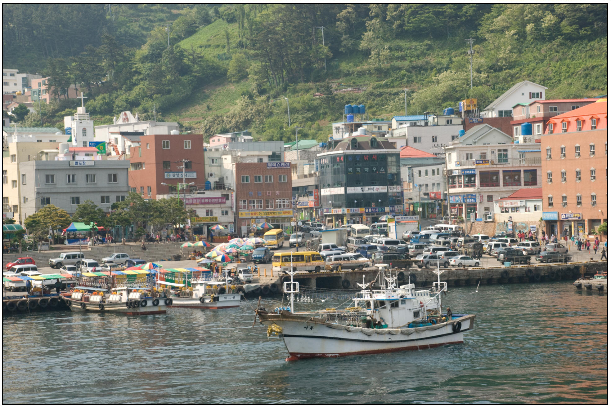

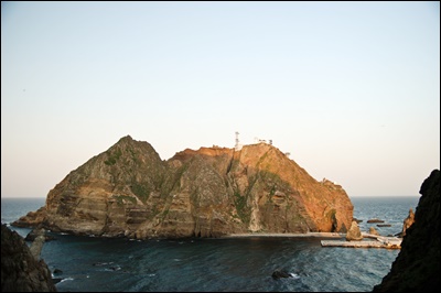
Left: Fishing boats in a low-mobility harbor. Center: A passenger ship at Dodong Harbor in 2012. Right: Ulleungdo Island from the top of Dokdo.

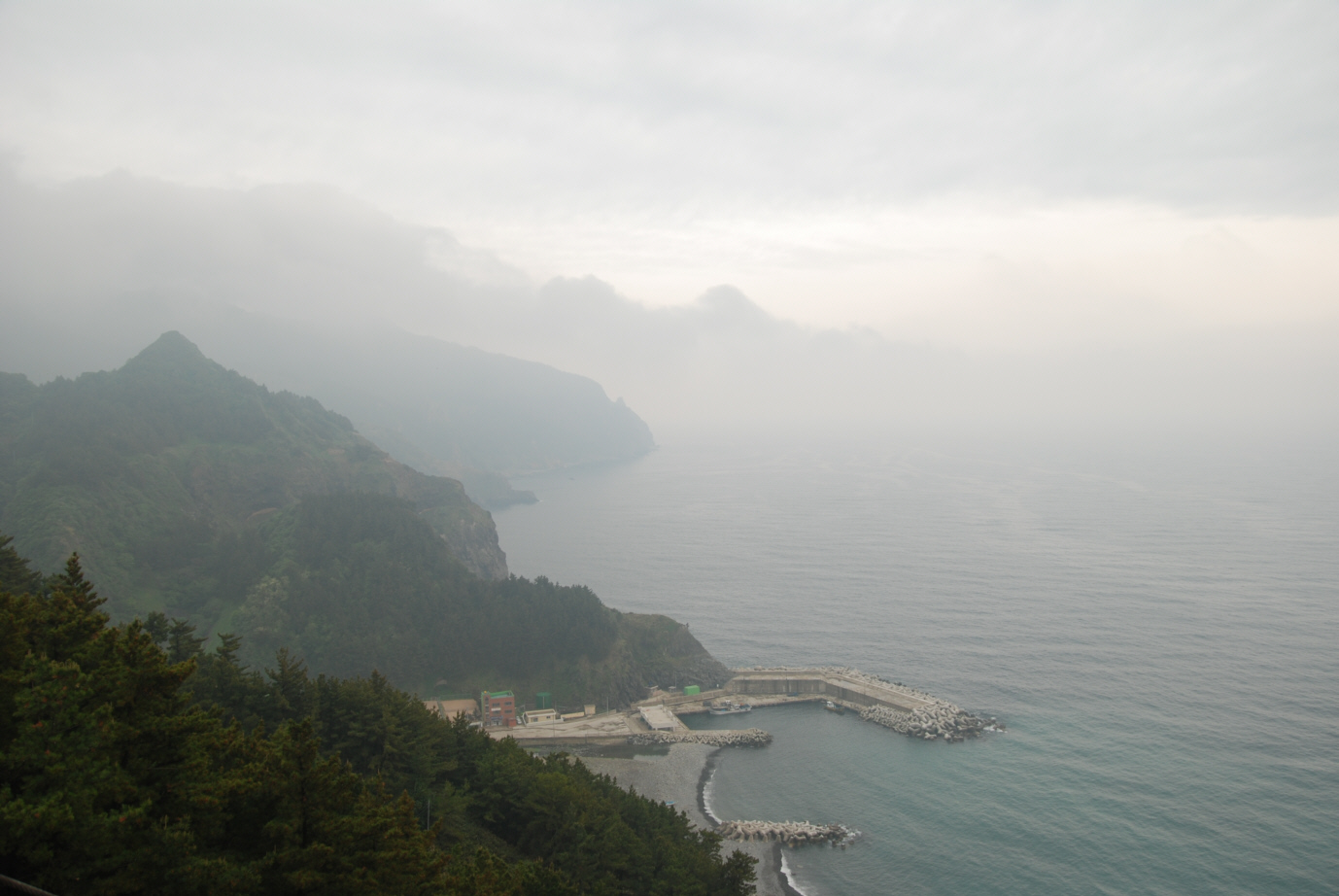
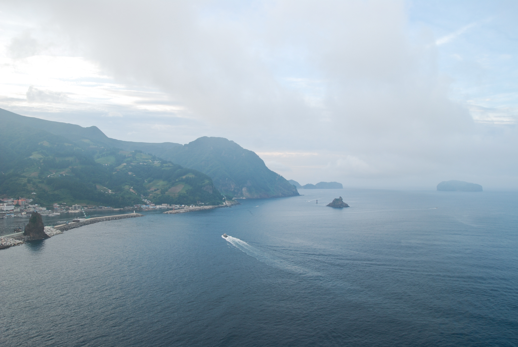
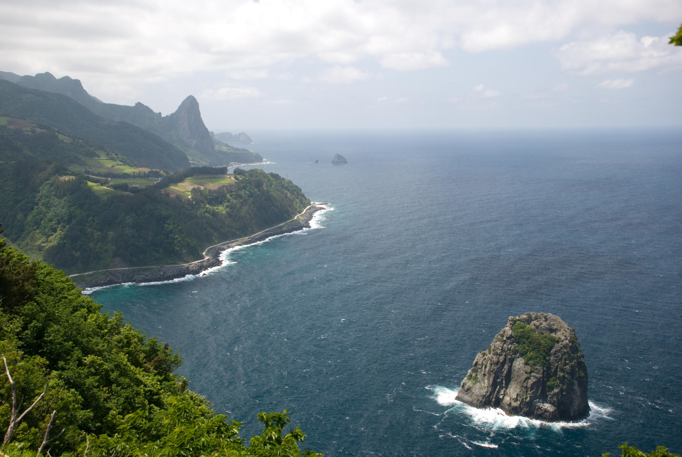
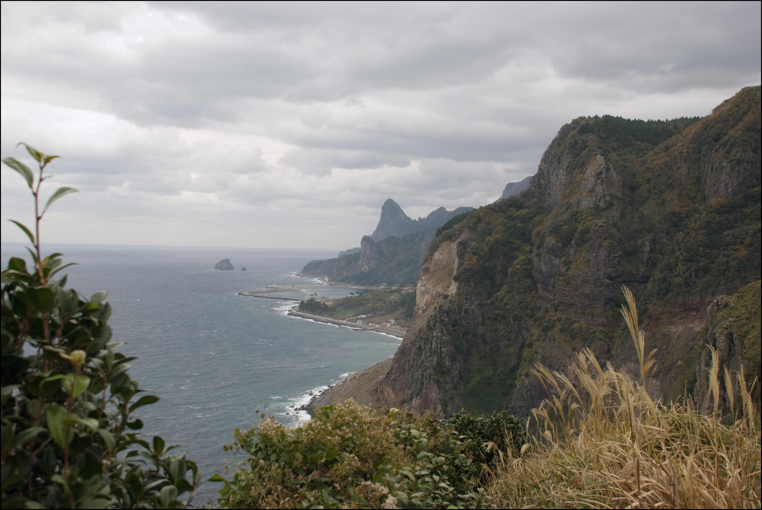
Left: Another photo of Ulleungdo Island from Dokdo, South Korea. Center: A cave on Gwaneumdo Island, Ulleungdo. Right: The north coast of Ulleungdo Island from Seokpo Observatory.
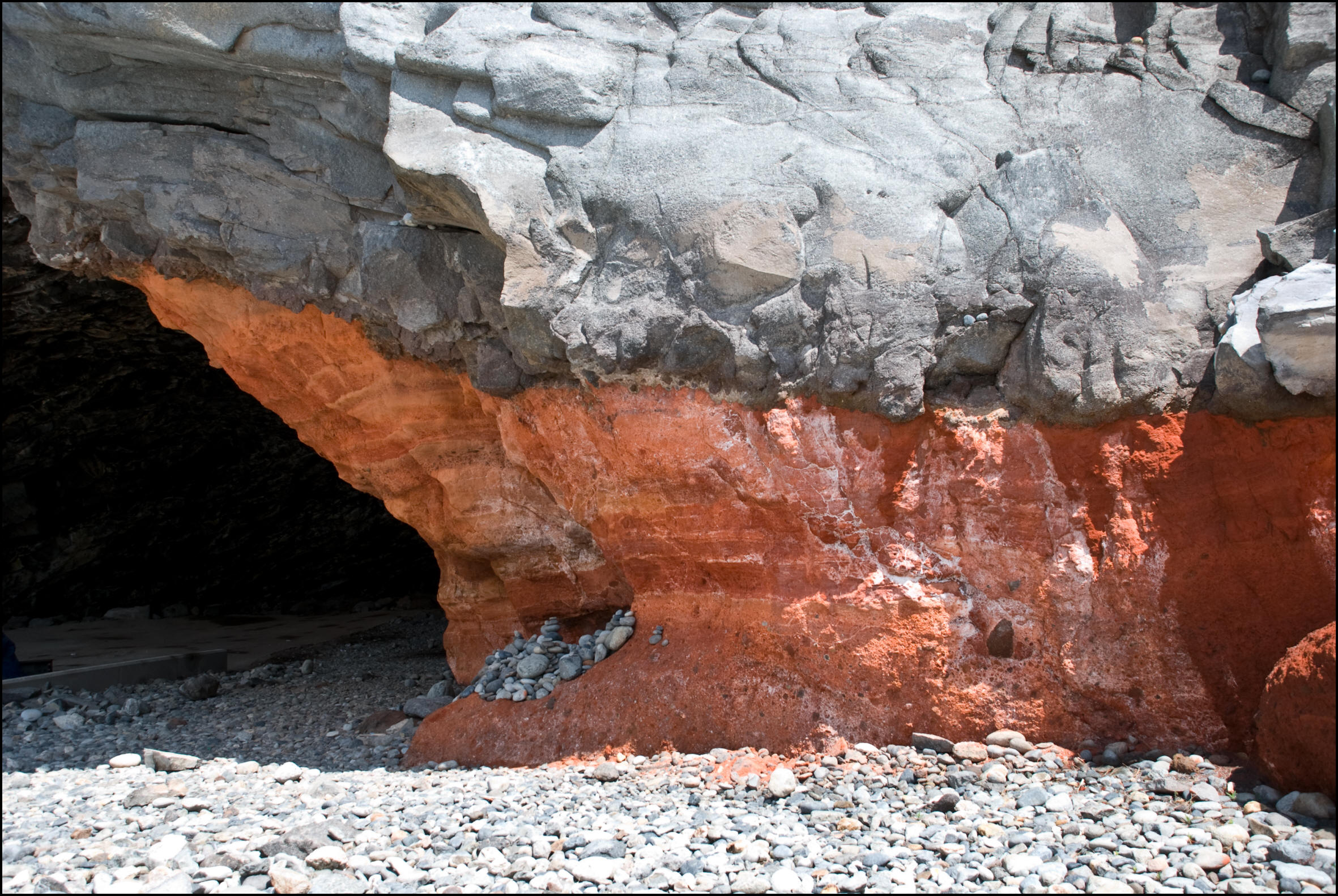

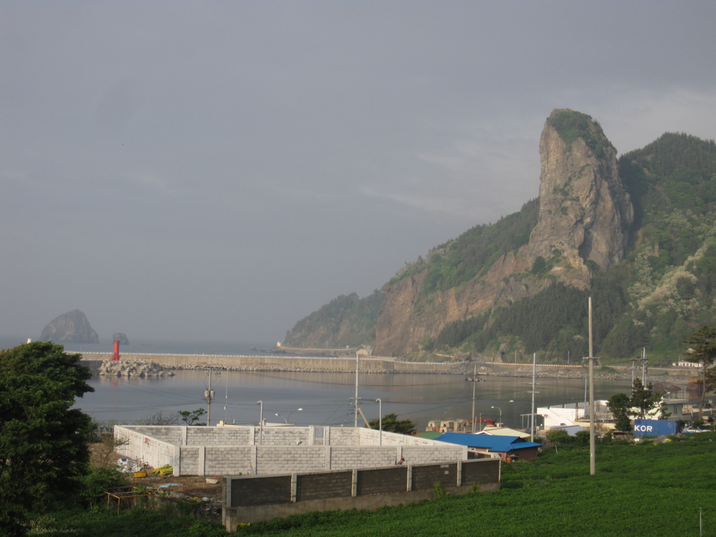
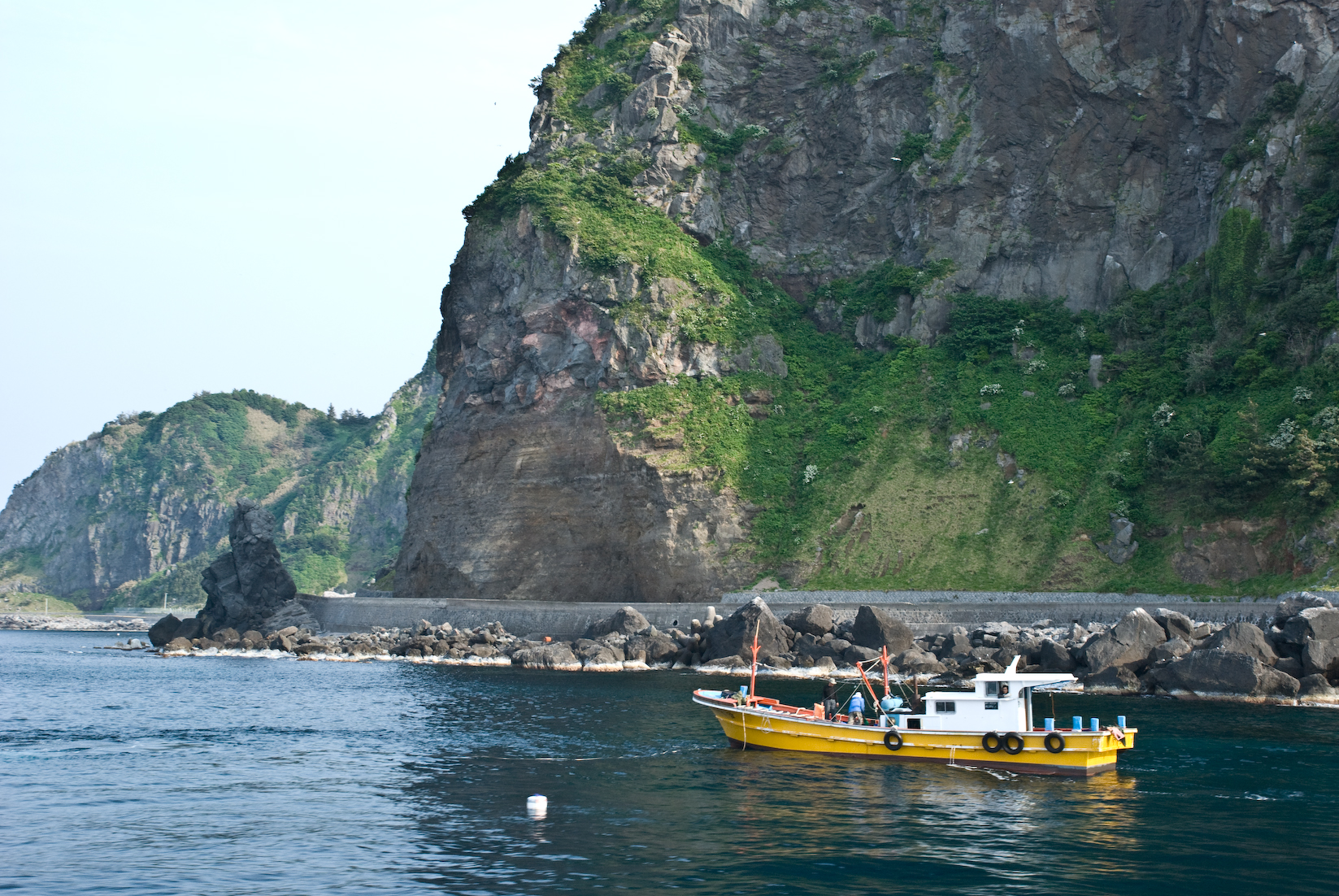
Left: Wollongdo ochre cave. Center: Daepung Rock on the northwest coast of Ulleungdo. Right: North coast as seen from Hyeonpo Port.
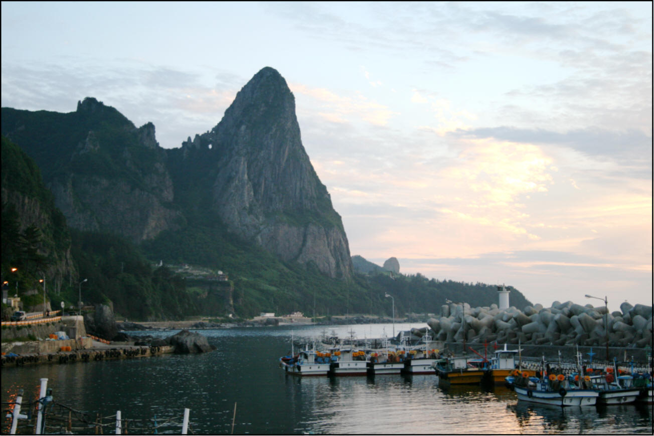
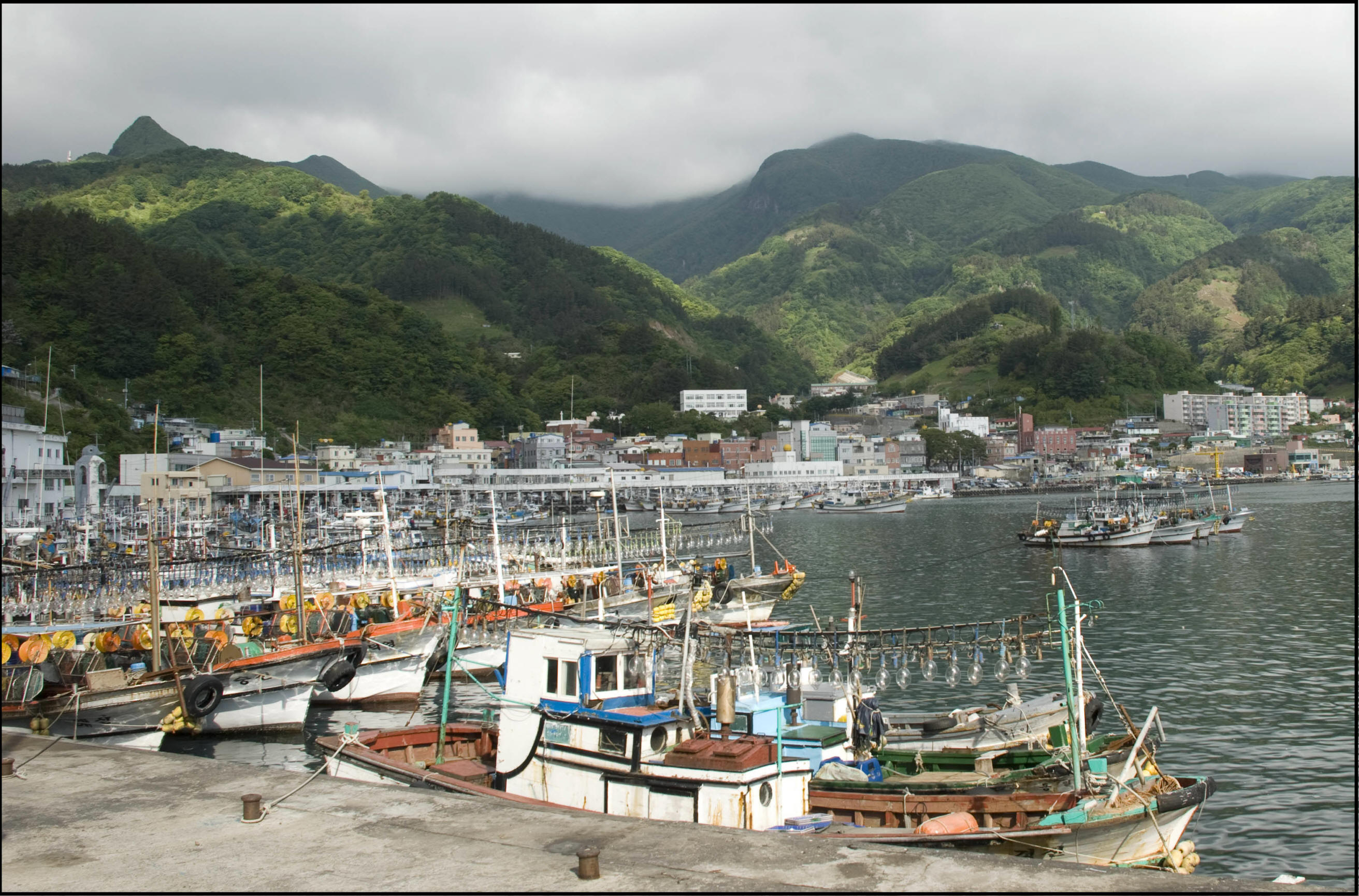
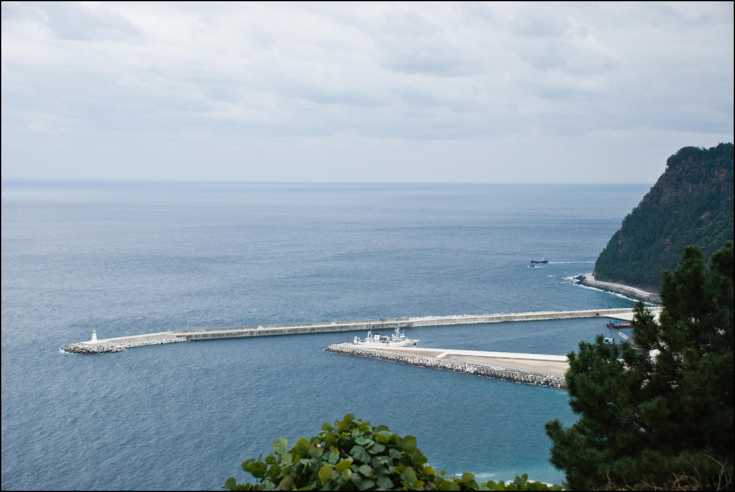
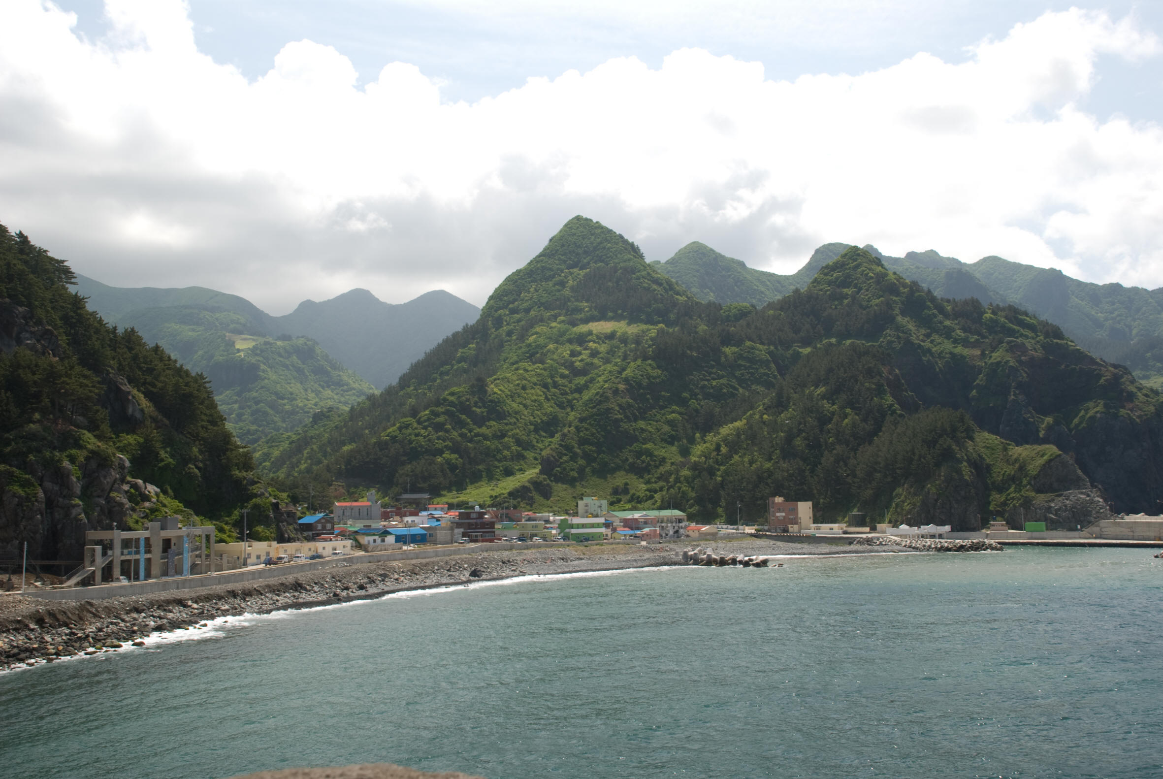
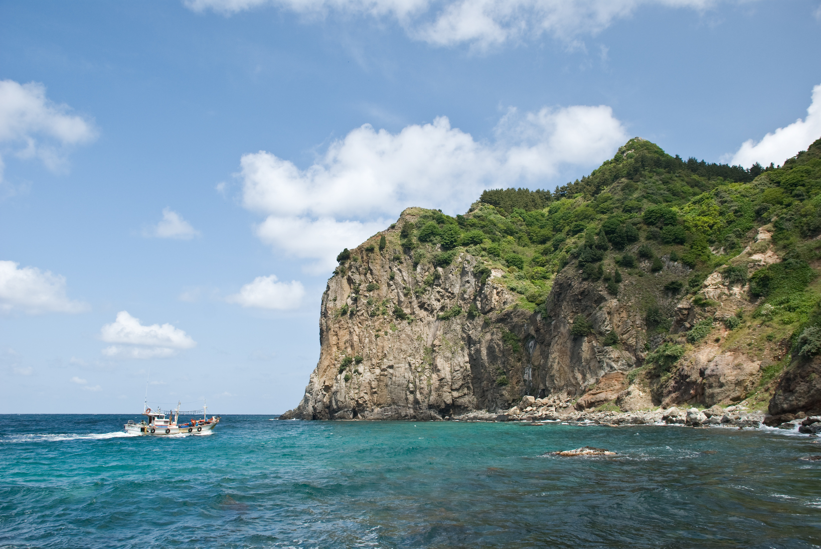
Left: Songgot Mountain on the north coast of Ulleungdo Island. Center: Fishing boats at the foot of Songgot Mountain. Right: Squid fishing boats anchored at Jedong Harbor on the east coast of Ulleungdo.
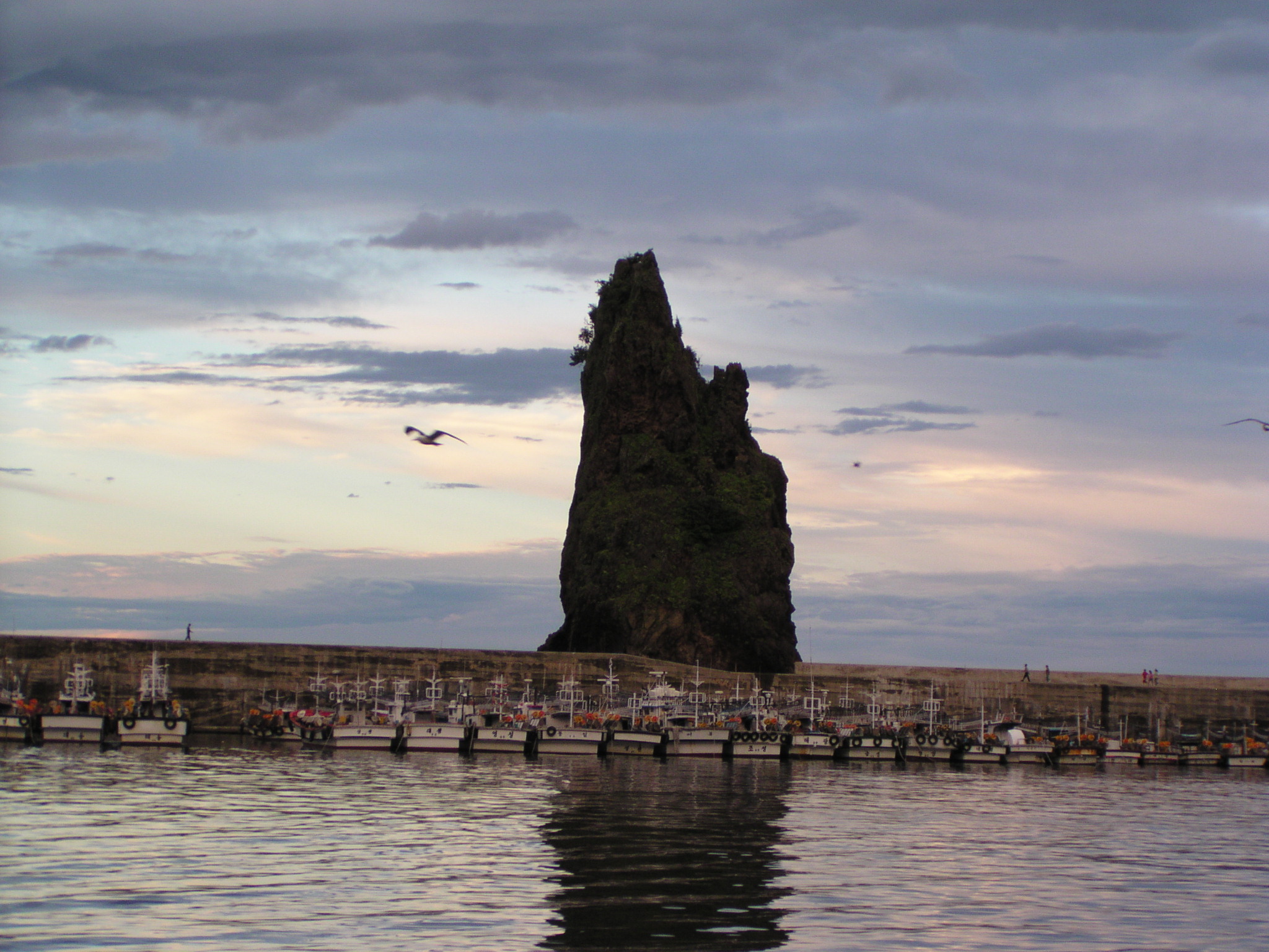
Left: Candlestick Rock in Jeodong Harbor. Center: Looking north from Jeodong, Bukjeo Rock and Bamboo Island can be seen in the distance. Right: A majestic view of the east coast of Ulleungdo Island from the north side of Jedong Harbor.
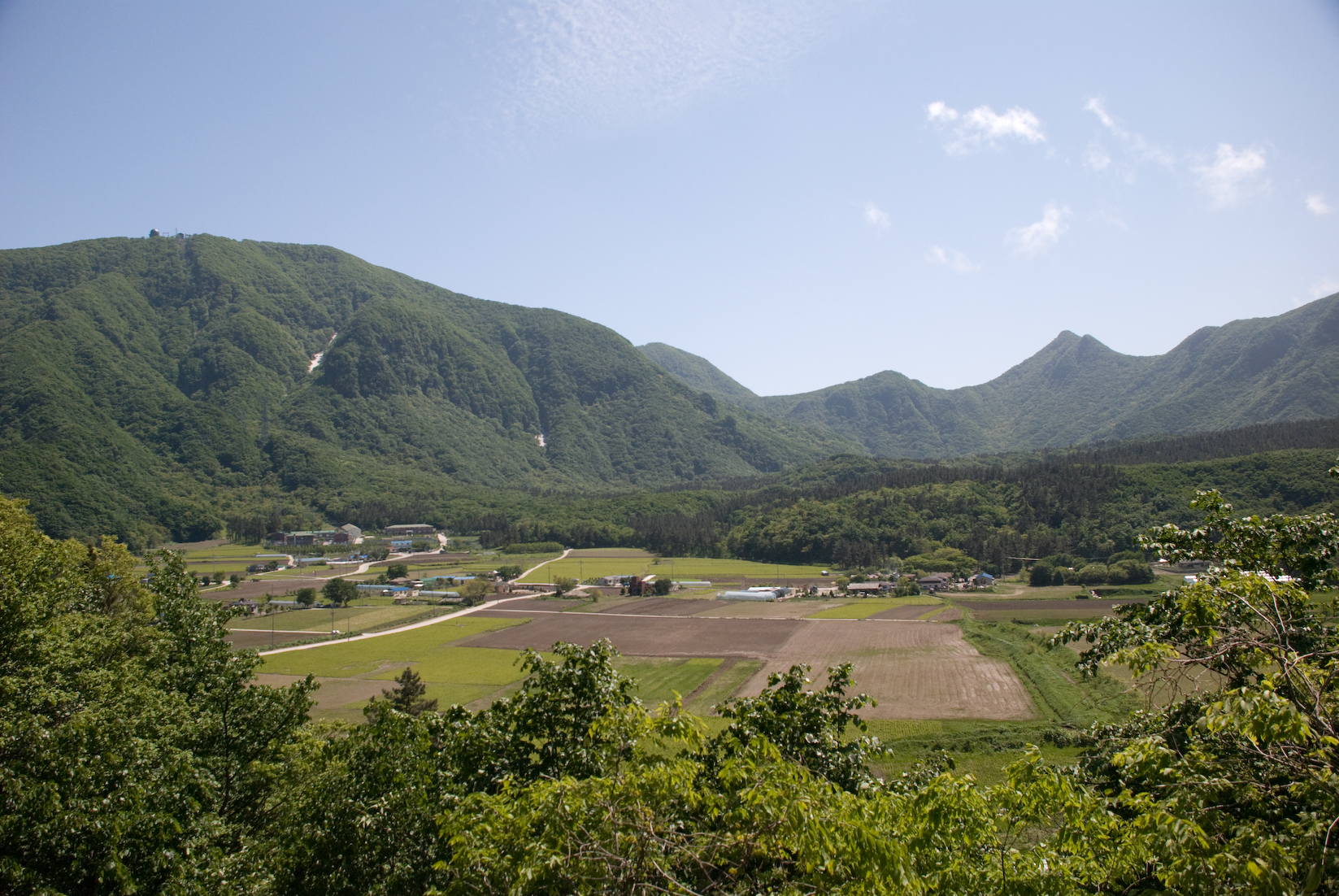
Left: Looking south from the low tower. Middle: Bamboo is seen from Naesujeon, just north of Jeodong. Right: Nari Basin, a former volcano, now has fertile soil and agricultural land.
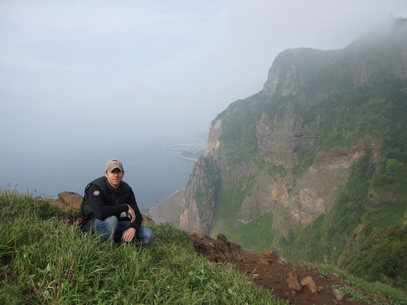
Left: Ryan Saley kneeling at the Hyeongmok Lookout on the northwest peak of Wollongong Island. Center: Sadong Beach on Ulleungdo’s south coast. Right: Sadong Harbor in its early stages of development. A lot has changed since these photos were taken!
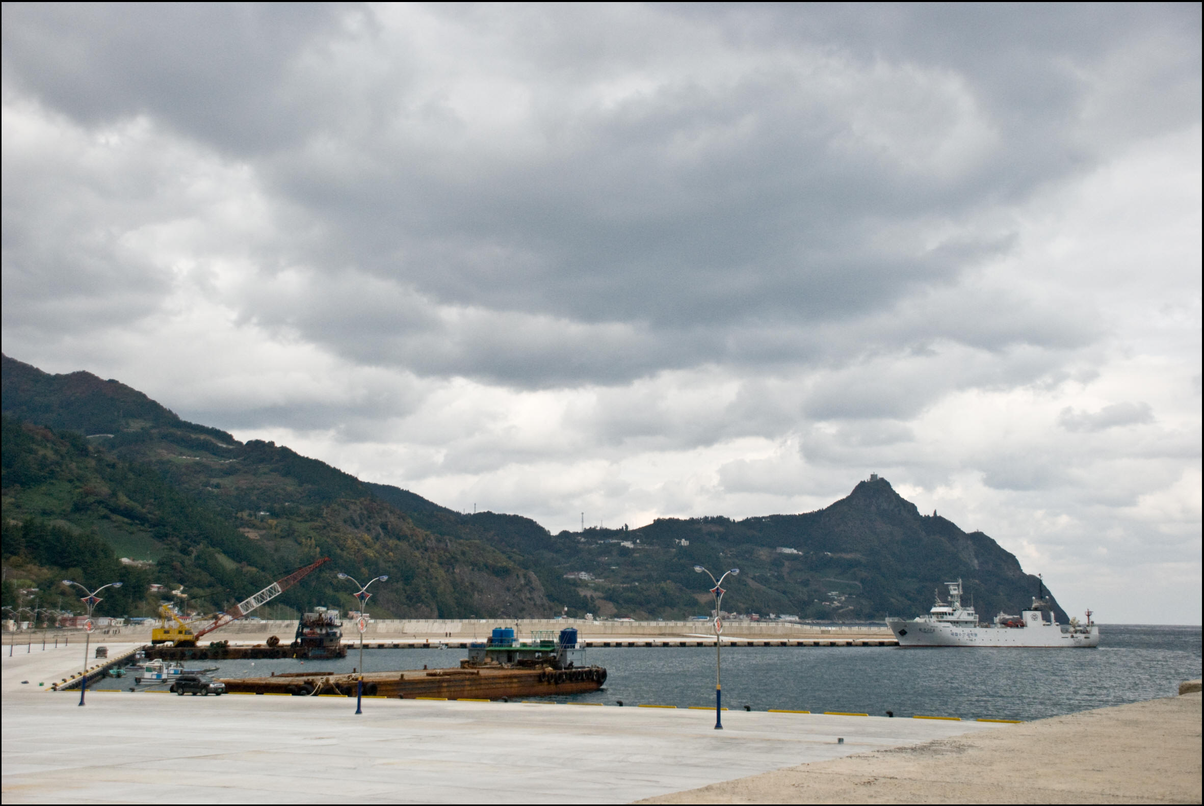
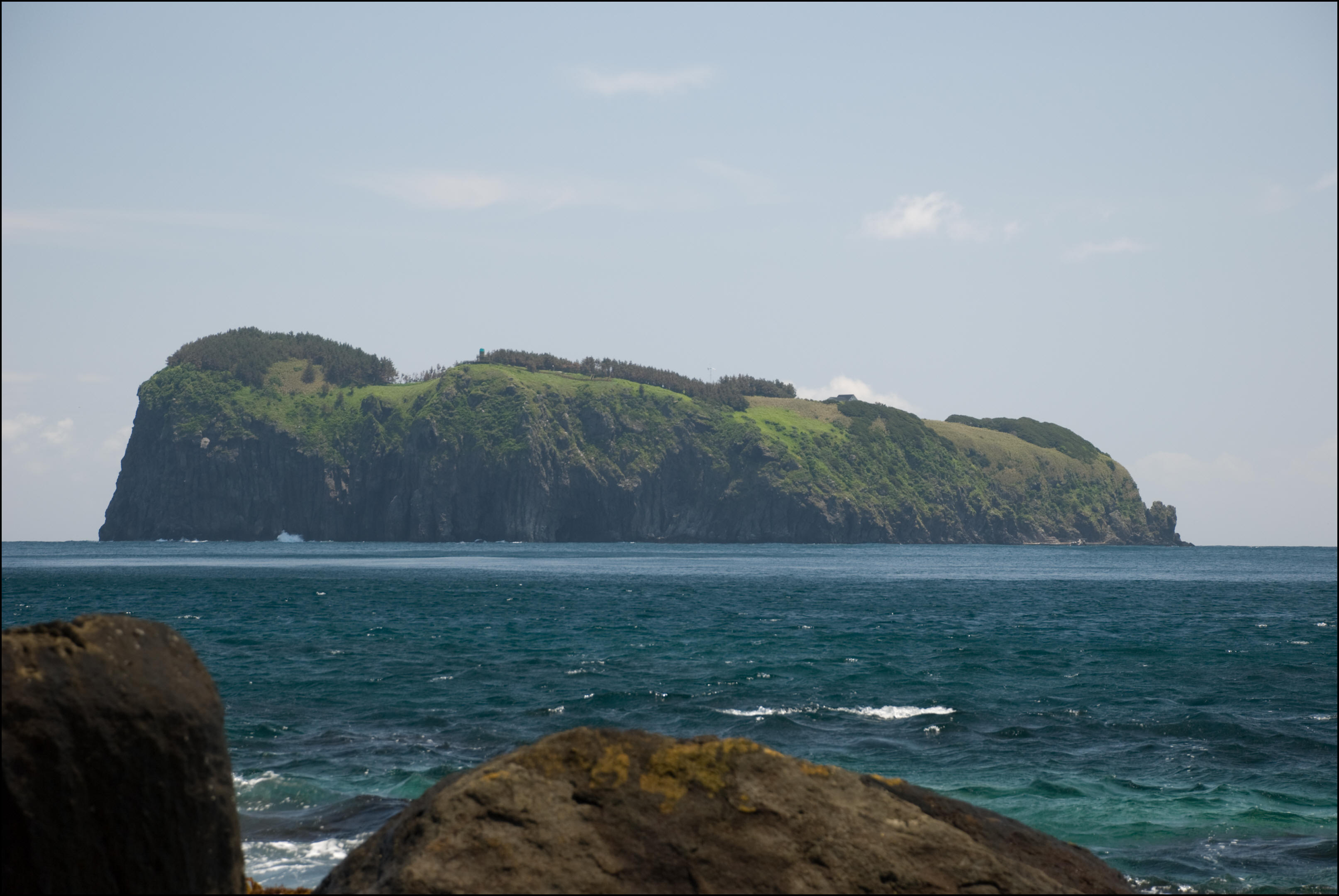
Left: Sadong Harbor, currently under construction. Center: Gwaneumdo Island from Seokpo, with Jukdo Island further east. There is now a bridge connecting Gwaneumdo and Ulleungdo. Right: Ulleungdo’s beautiful north shore, looking west from Seokpo.
Left: Jukdo Island as seen from the east coast of Ulleungdo. Center: North shore of Ulleungdo. Right: The Taebaek Mountains from the west coast of Ulleungdo.
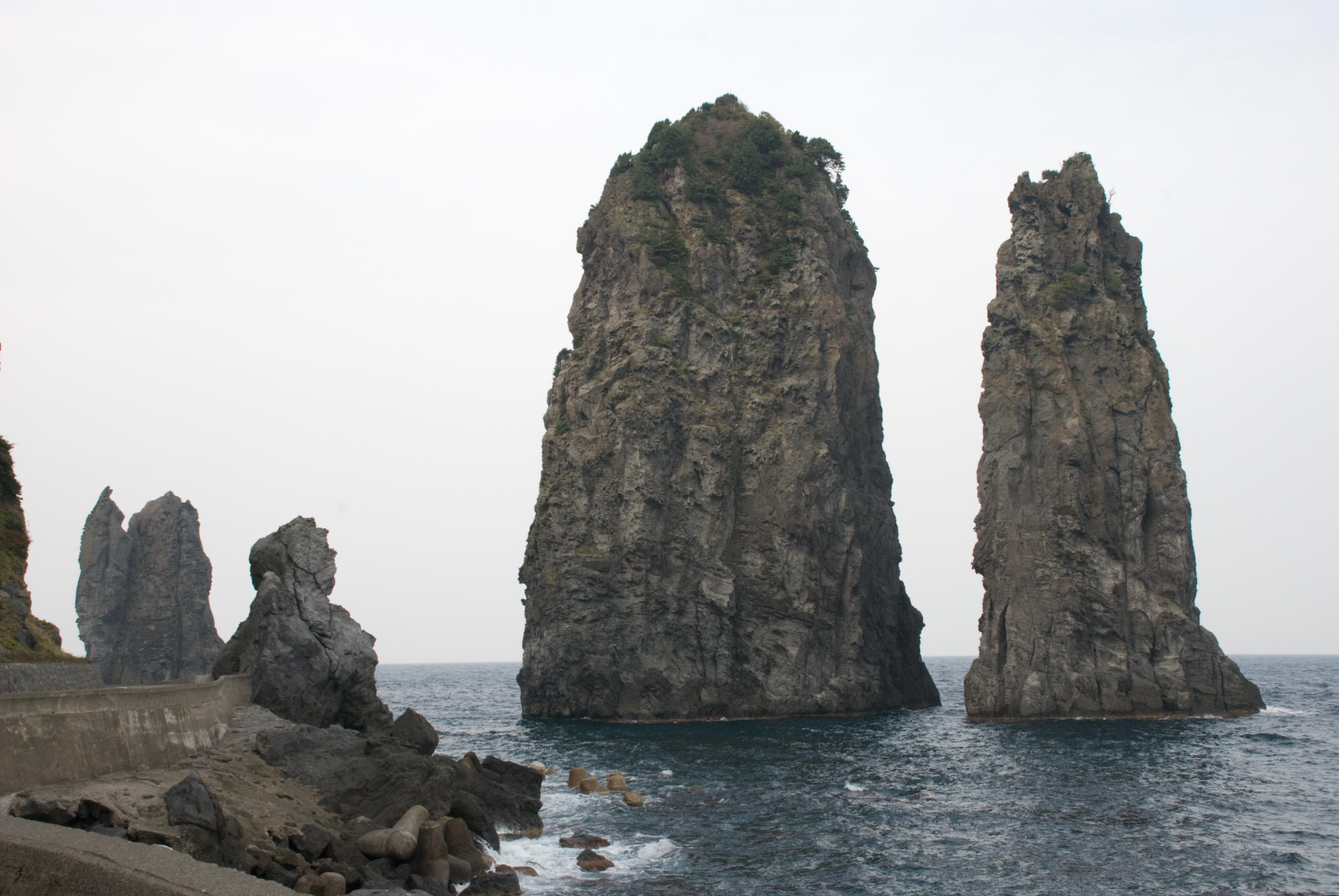
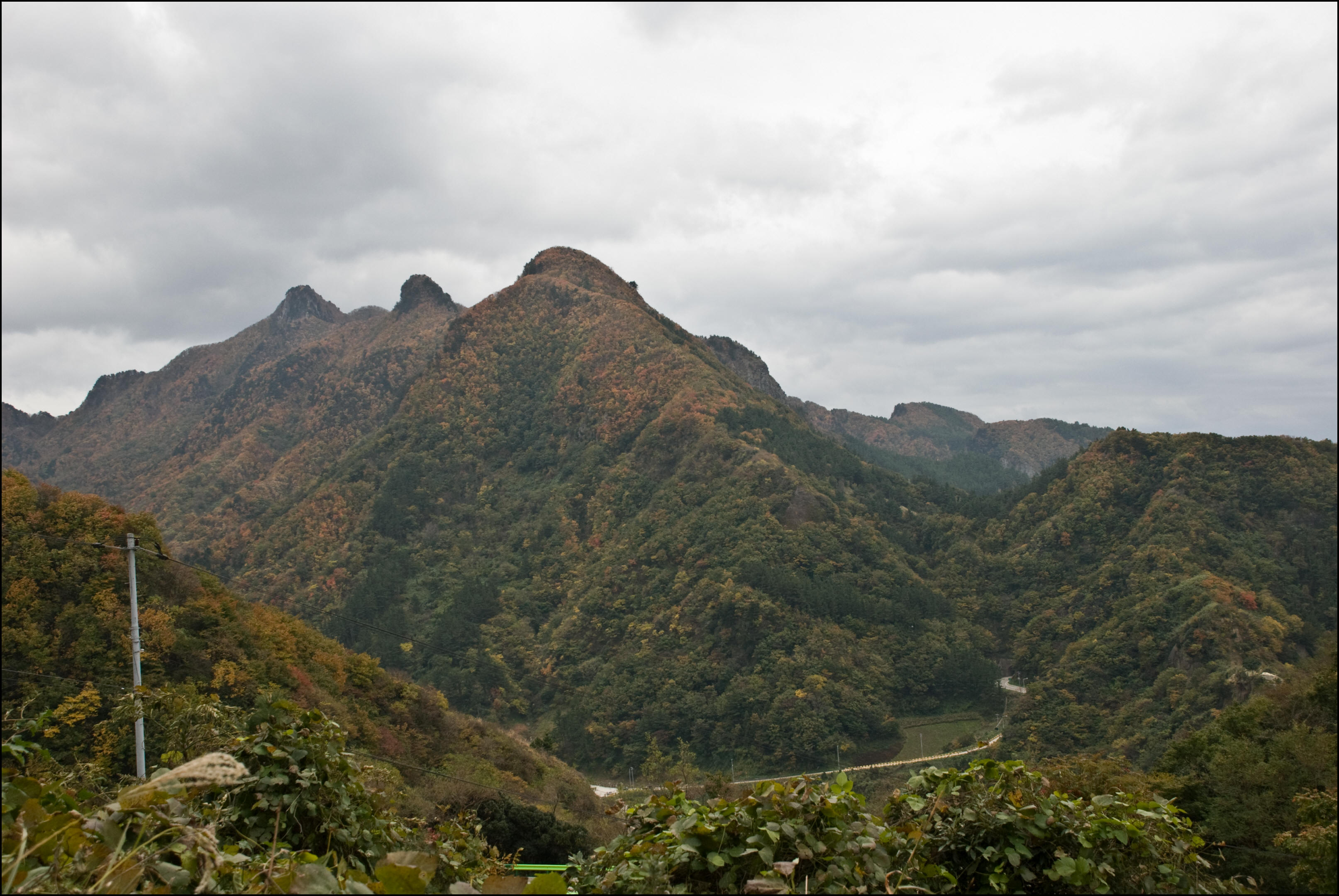
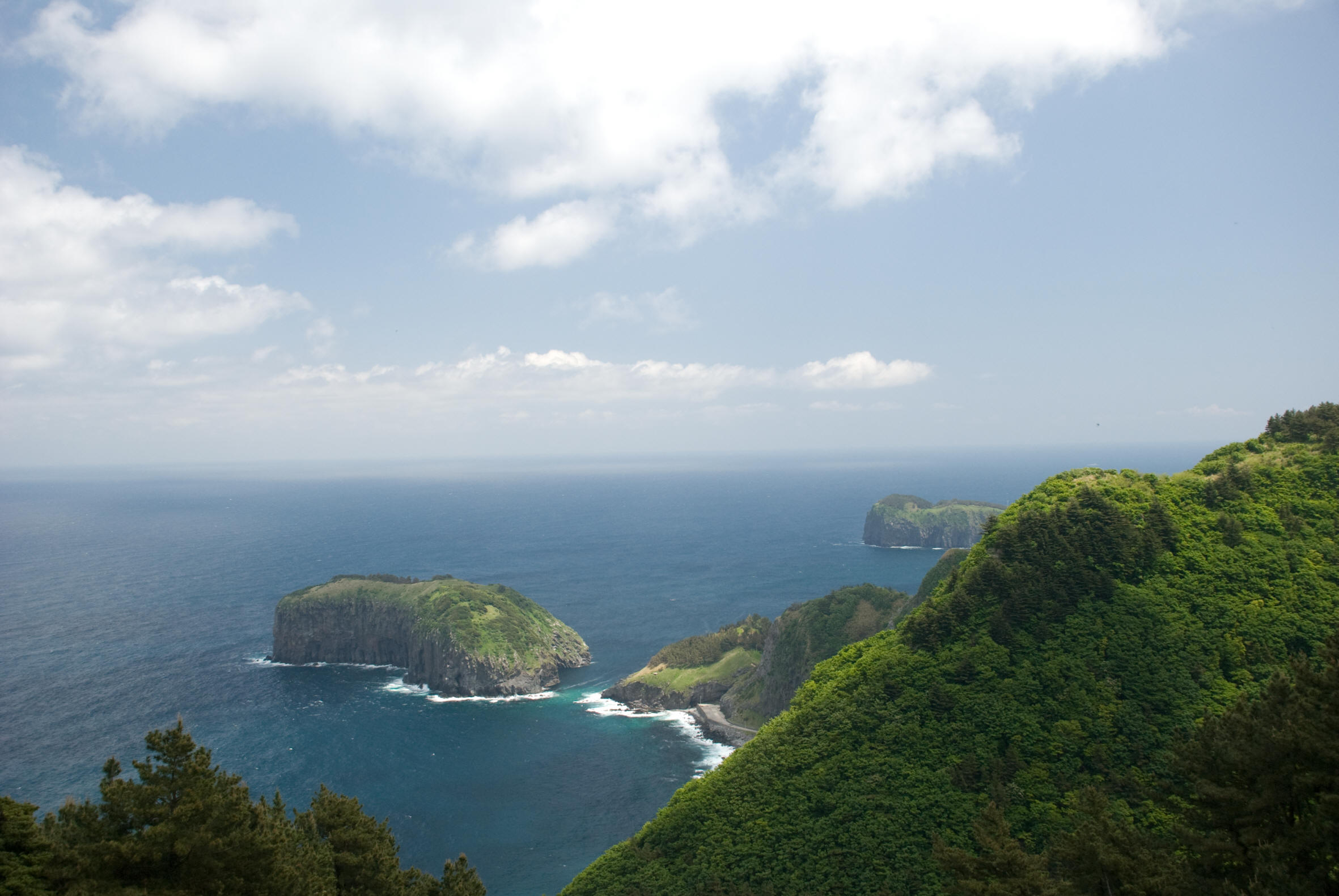
Left: Taeha Valley, north side of Ulleungdo Island. Center: Three Angles Rock. Note Ajumma Boulder, which is said to look a mother holding her child. Right: The Three Brothers Mountain Range on Ulleungdo.
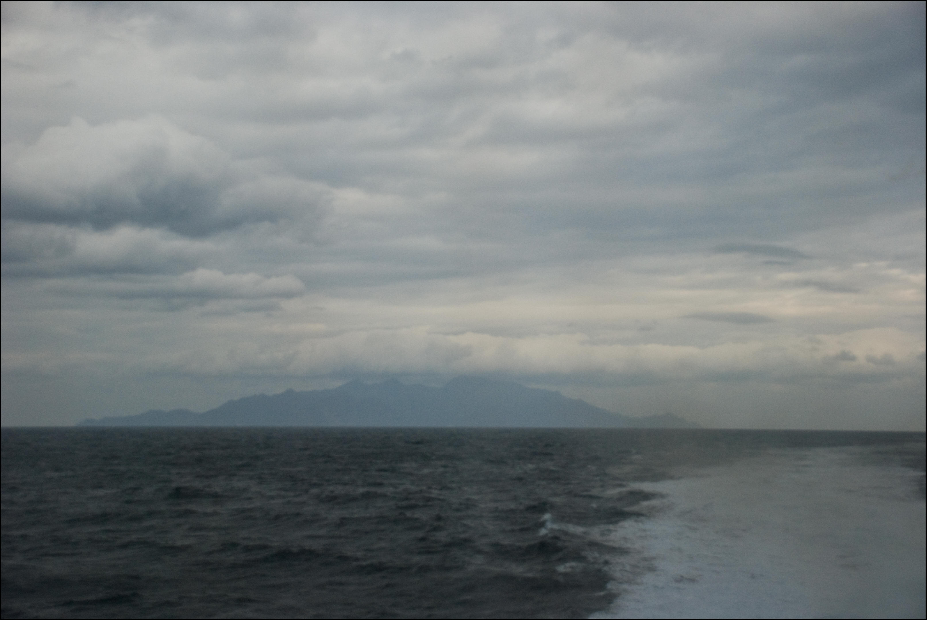
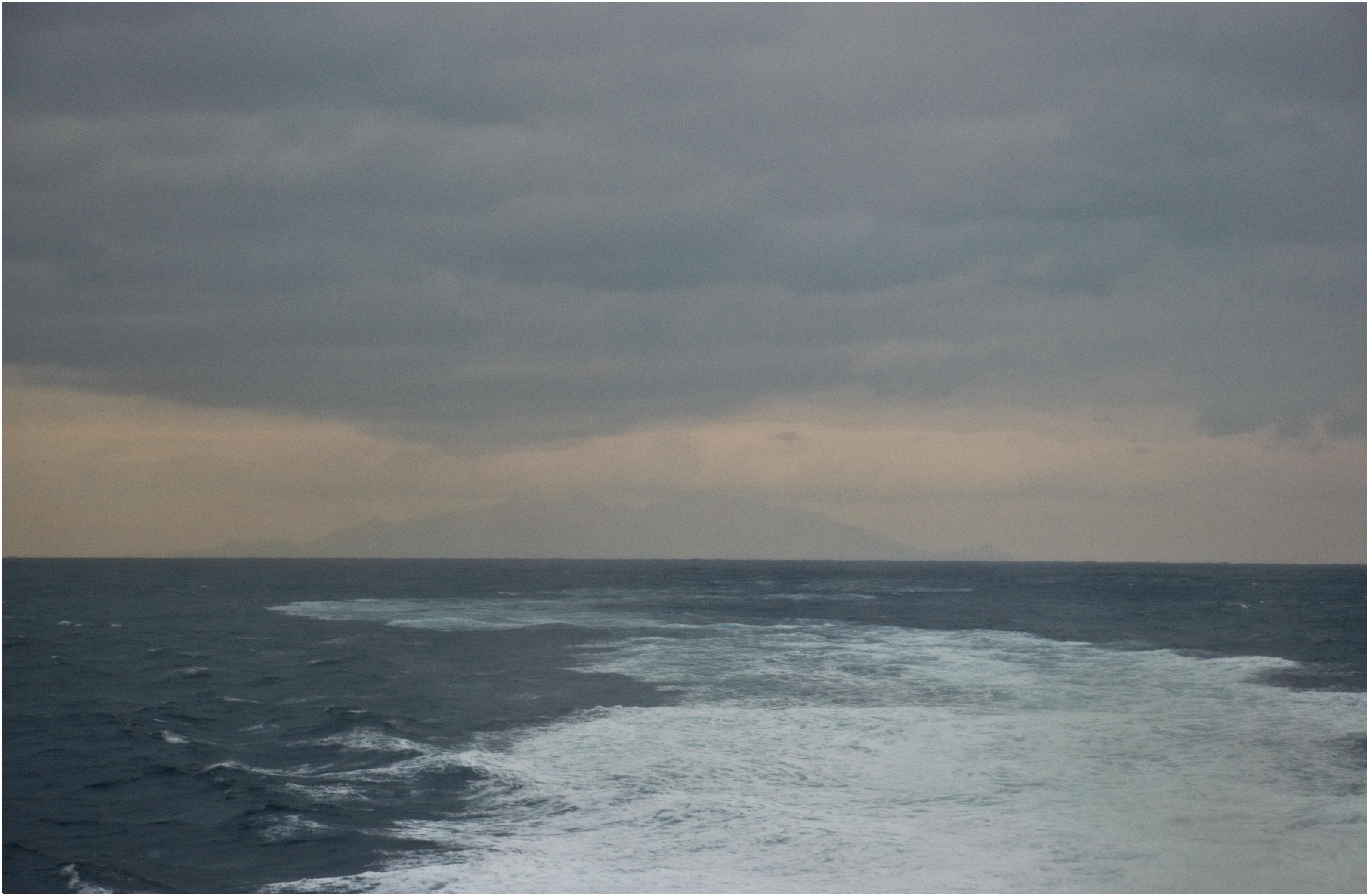
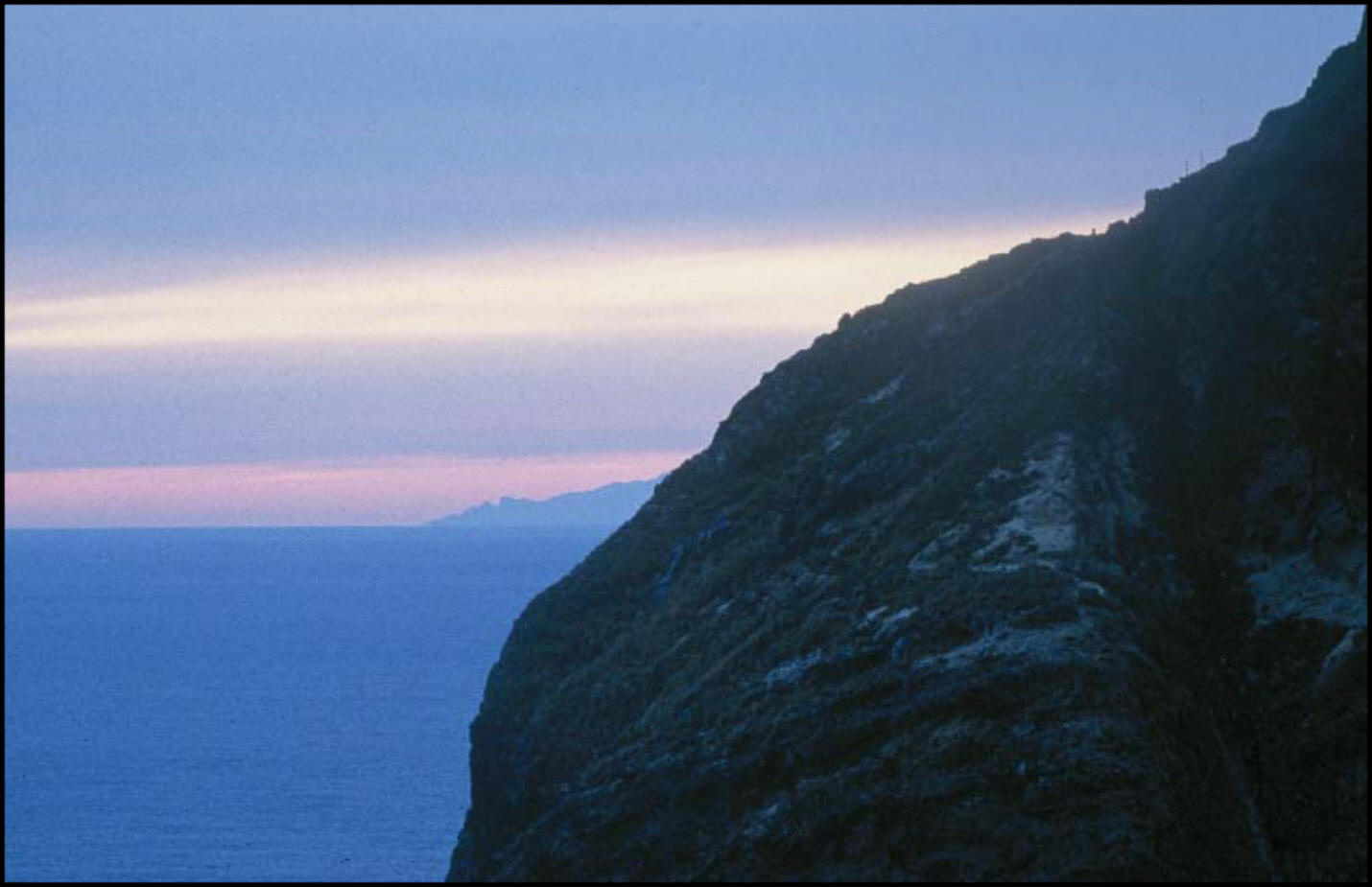
Left: Turtle rocks on the south coast of Ulleungdo. Center: Ulleungdo seen from a ferry bound for Pohang, 30 kilometers away. Right: Ulleungdo from the same angle, 60 kilometers away on a cloudy fall day. There are records of views of Ulleungdo from Joseon.
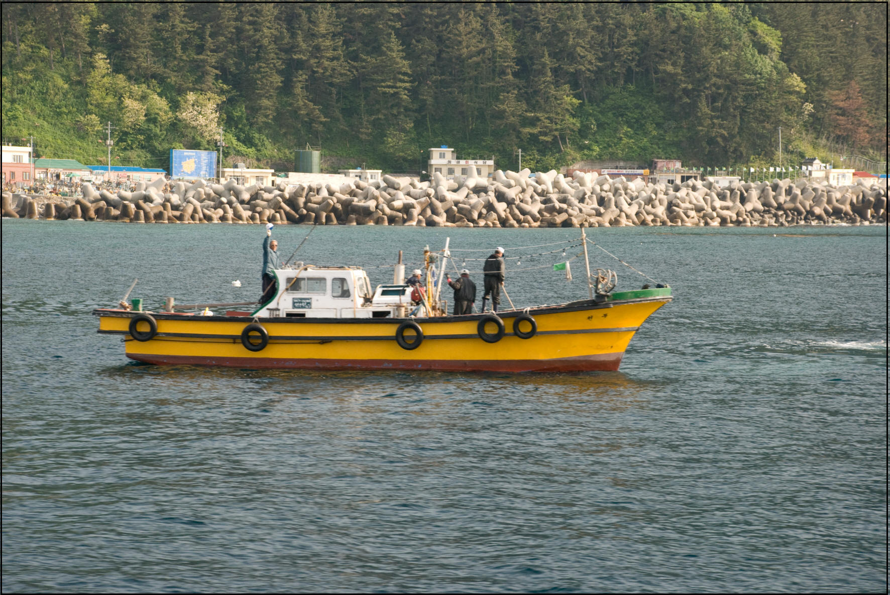

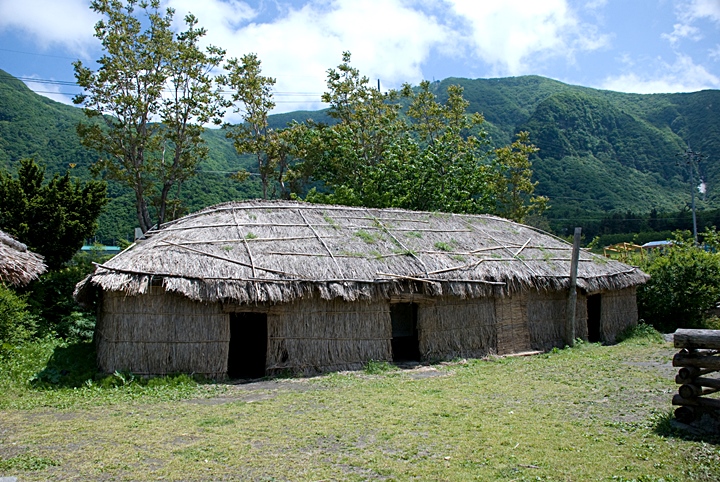
Left: Friendly Ulleungdo fishermen greet passing tourists. Center: A house in a traditional village in Nari Basin. Right: Another traditional thatched house in Nari Basin which is actually an extinct volcano.
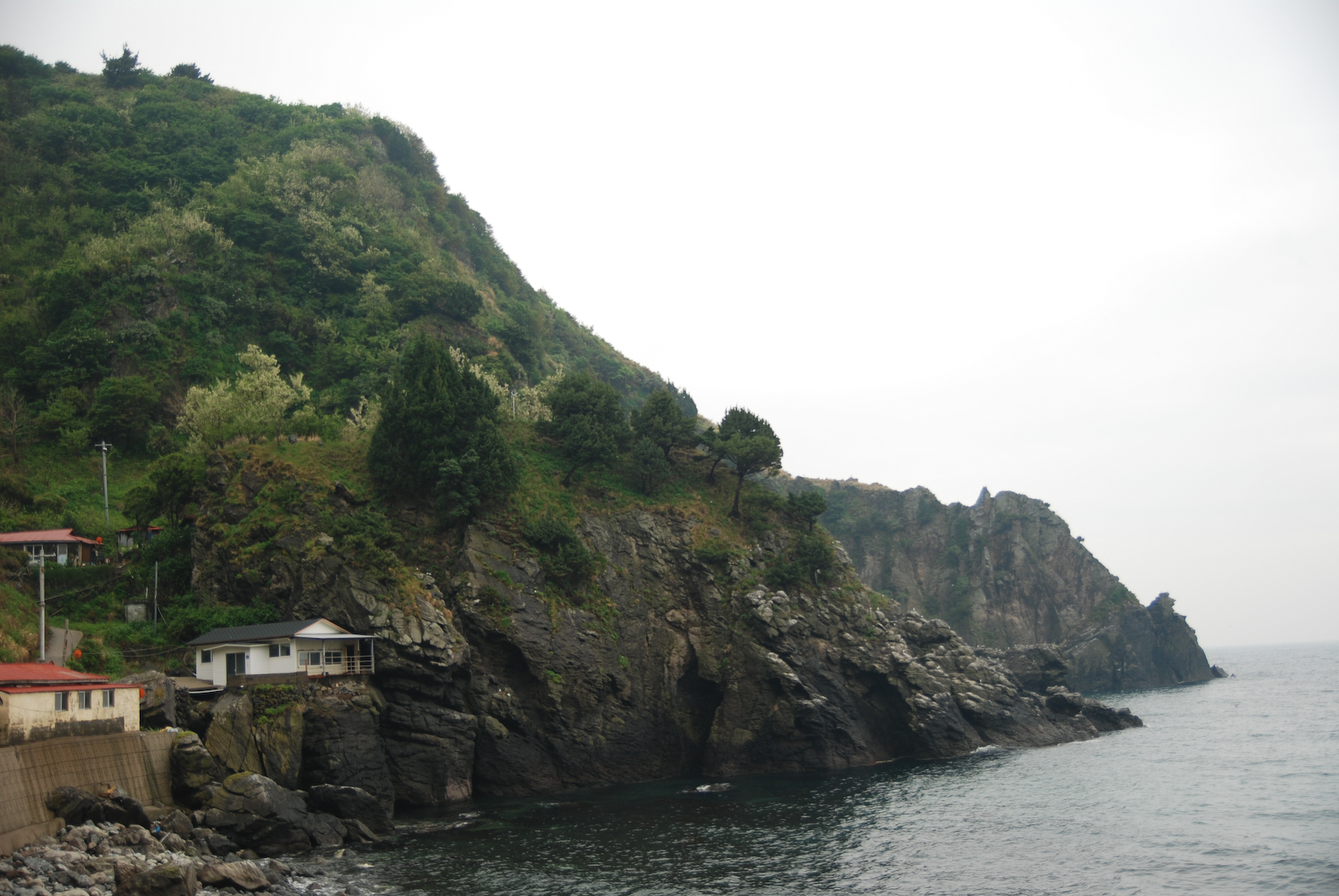
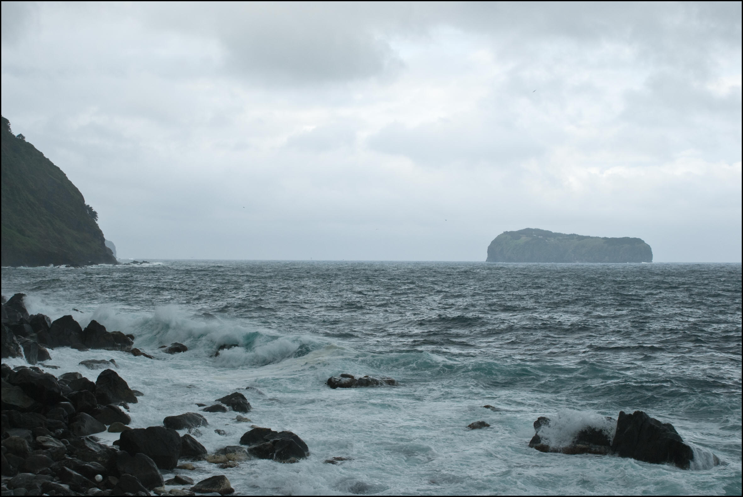
Left: The north coast of Ulleungdo. (Note Elephant Rock, click image) Center: The beautiful blue waters of Ulleungdo. Right: The northwest coast of Ulleungdo. It is said that the sea loses its blue color when the weather turns bad.
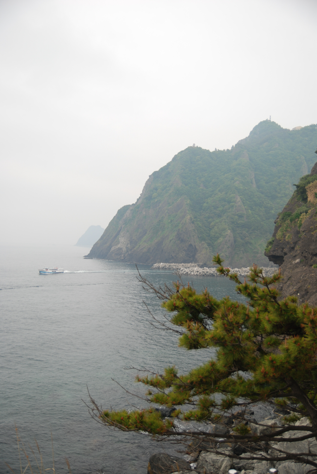
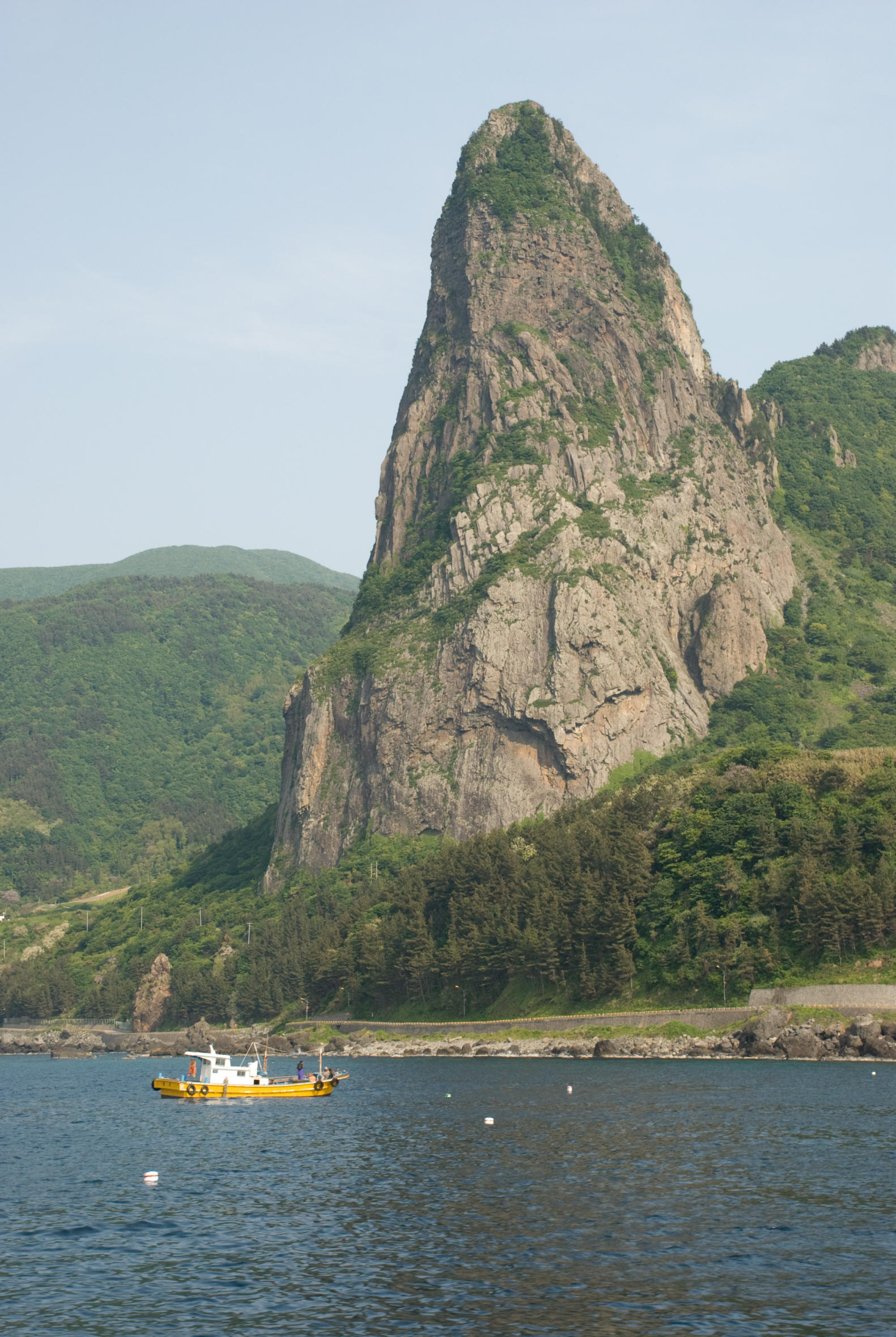
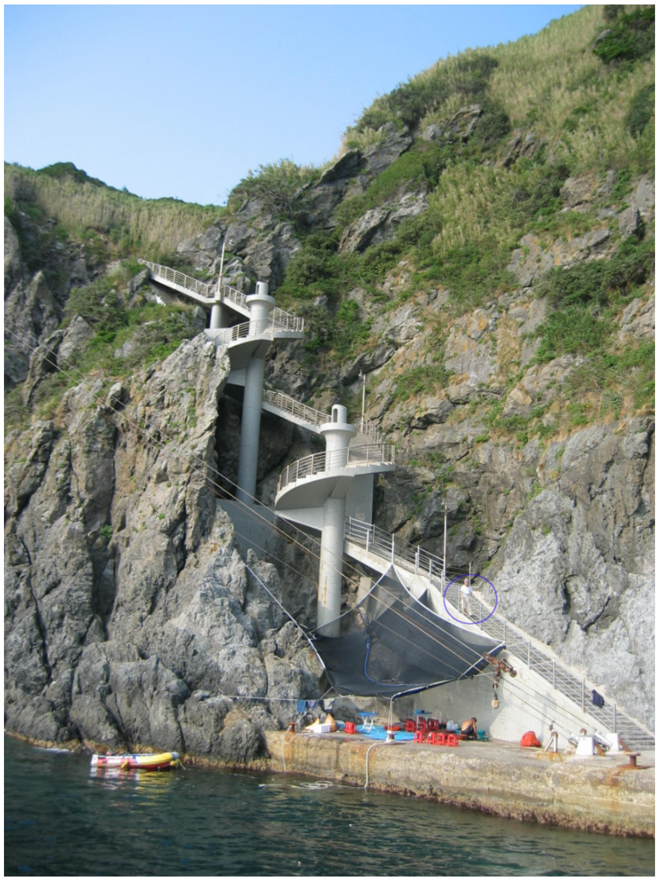
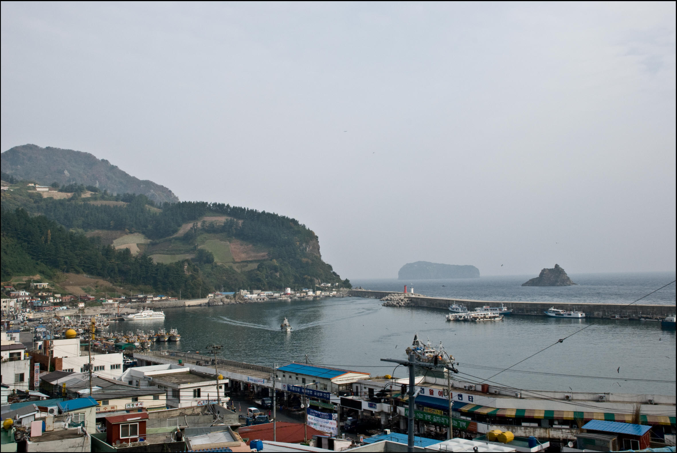
Left: Looking south at the narrow entrance to Dodong Harbor. Center: Songgot Mountain towers over the fishing boats. Right: Spiral staircase leading to the top of Jukdo Island.
Other Dokdo – Related Video Media
 Dokdo Image Gallery
Through years of online research and fieldwork, we have collected images of Dokdo that are used by various media outlets and private researchers. We also have images of the West Island region of Dokdo that were only accessible through special permission from the South Korean government.
 Dokdo – Takeshima Island Dispute Videos
We’ve collected YouTube videos supporting South Korea’s claim to Dokdo from a variety of sources, some political, some from netizens who support Japan’s claim to the islets.