
Title Chosun’s (Korea’s) 1714 Report on Coastal Defenses and Dokdo
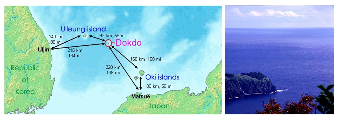
First this page starts with a map of the Korea, Ulleungdo, Dokdo and Oki Islands region. Korea’s historical claim to Ulleungdo goes back to the year 512. Dokdo Island is about 87kms away is visible from Ulleungdo three times a month on average. Dokdo Island is called Takeshima by Japan and sometimes referred to as Liancourt Rocks by some western nations.
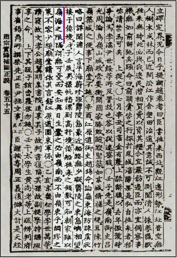 Gangwon Provincial emissary Jo Seok-myeong (趙錫命) discussed the neglected coastal defenses in the Yeongdong region. He reported the following:
“…I listened carefully to the people in the ports (浦人) who said, “..Pyeonghae (平海) and Uljin (蔚珍) are closest to Ulleungdo, and there are no obstructions along the sea route. Visible to the east of Ulleung is an island that is adjacent to the limits of Japan…” In 1708 and 1712, strange-looking ships drifted to the borders of Goseong (高城) and Ganseong (杆城), so we know that Japanese ships frequently come and go. The government, however, says that the vast sea is a barrier, so there is no need to worry, but how can we be sure that a future war will not break out in the Yeongdong region instead of the Yeongnam region? We cannot allow even a little delay in taking measures to be thoroughly prepared.
In accordance with the request, the Myodang (廟堂) requested that Gangwondo be reprimanded to cracked down on its military officials…”
First, this document tells us Korean residents of the coastal regions were cognizant of Dokdo Island long before the Japanese annexed the islets in 1905. It also shows despite Chosun’s vacant island policy on Ulleungdo, Koreans ignored this travel ban and still frequented the area. Thus the Ulleungdo area was never really abandoned during Chosun’s empty island policy toward Ulleungdo.
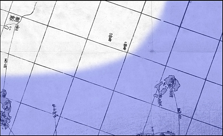
Lastly, the 1714 records makes it clear 18th Century Koreans excluded Dokdo from Japanese territory. Korean Emissary Cho Seok Myeong stated the island to the East of Ulleungdo was “adjacent to” or “bordering on” the limits of Japan and not part of Japan. This is in accordance with Jang Han Sang’s description of Japan’s limits when he wrote the Ulleungdo Sa-jeok in 1694. (link) The map below illustrates what would have been considered the territorial limits of Japan and Korea based on the records we have.
If indeed these Koreans thought Dokdo was Japanese territory this record would have simply stated so. However, it reads the island to visible to the East (接) “leads to” “borders on” or is “adjacent to” the limits of Japanese territory. This would be from the Korean perspective of looking East from Ulleungdo and beyond Dokdo. Clearly the “island to the East” (Dokdo) was en route to the limits of Wae-Gyeong (倭境-Japanese) land and not part of Japan itself.